Colorado National Monument Tour of the Moon – A Classic Ride:
As we saw from the USA Pro Cycling Challenge Colorado is full of classic road bike rides. Many of them involve difficult mountain passes and extreme altitude.
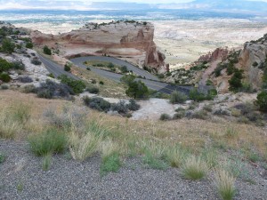
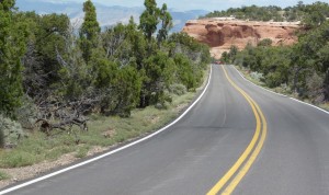
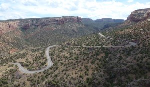
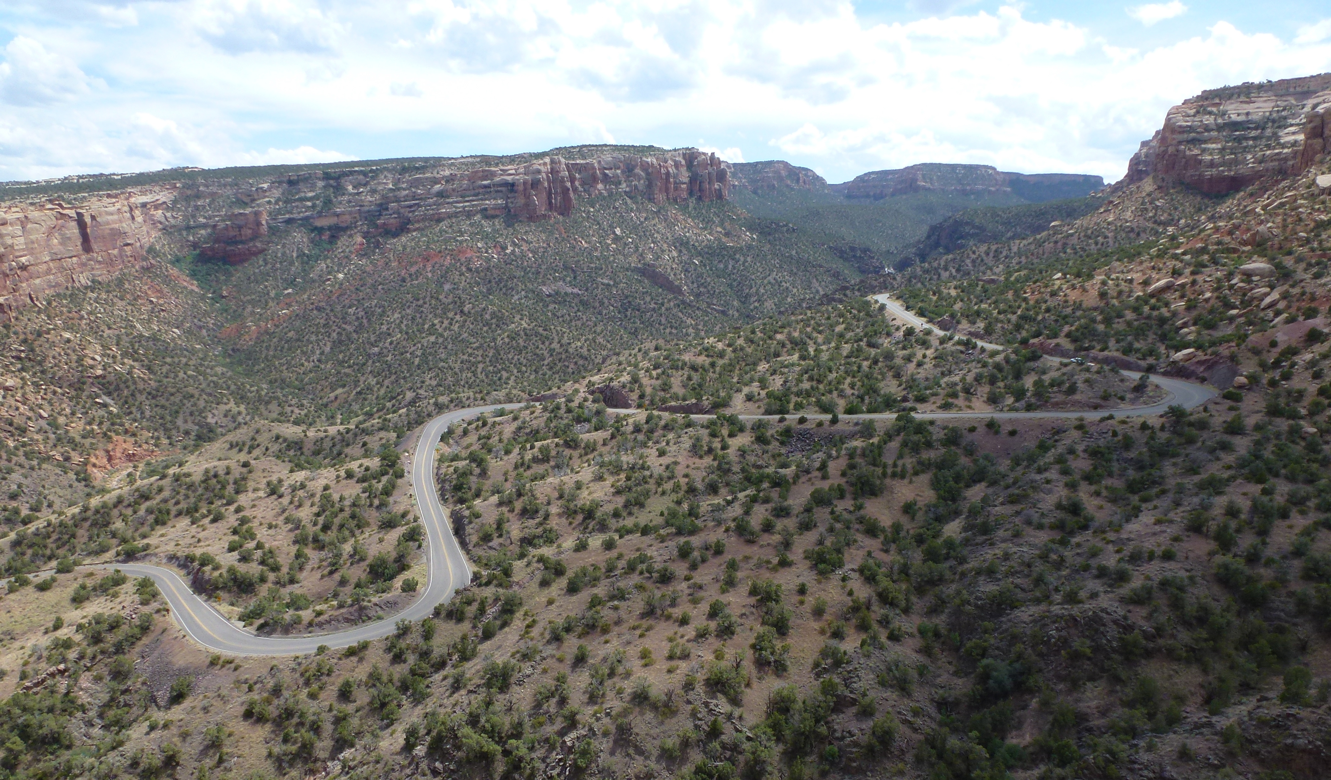
The Colorado National Monument ride is different. Located on the northeastern edge of the Colorado Plateau on the far western side of the state, Colorado National Monument offers two-wheeled visitors endless vistas of dramatic red rock canyons and monoliths, pinyon-juniper forests, three seasons of wildflowers and a symphony of canyon wrens on most any given day.
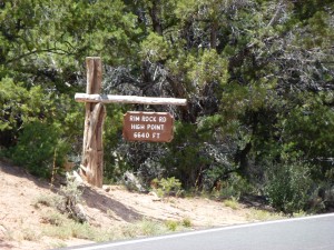
The ride isn’t easy. No matter which way one rides the Monument (as it is locally known), it involves a significant climb. But with a top altitude of only 6,640 feet, a total vertical gain of 2300 feet, and a round-trip distance of 33 miles, this ride won’t leave you gasping for air.
For eight glorious years, between 1980 and 1988, the Monument was the location of the “Tour of The Moon,” one of the most famous stages of the Coors International Bicycle Classic. During its heyday, the Coors Classic was the largest men’s and women’s pro-am race in the world, attracting the top teams and top riders.
In 1981 and 1985, cycling legend Greg LeMond won the Coors Classic. Other famous participants included speed-skating legends Eric and Beth Heiden, with Beth winning the women’s division in 1980. In 1984, the film American Flyers, starring Kevin Costner was inspired by the Tour of the Moon and filmed on site in Mesa County.
Since the demise of the Coors Classic in 1988, cycling on the Colorado National Monument has been limited to amateurs, enthusiasts and just plain crazy people. My family falls into all three of those categories. We are definitely amateurs. We are certainly enthusiasts, and my husband could be considered crazy. How to else to explain why he would choose to ride up and down the Monument three times on one firecracker hot 4th of July? Granted he didn’t ride the entire 33 mile circuit each time. He just rode the difficult climbing section three separate times, in a row.
This past week, professional cycling returned to Colorado with the USA Pro Cycling Challenge. The Monument wasn’t one of this year’s stages, as the City of Grand Junction passed on putting in a stage application for 2011. With a landscape like no other in pro cycling, USA Pro Cycling Challenge organizers are hoping to resurrect the Tour of the Moon for the 2012 race. However, citing concerns for protection of the park’s natural resources, the National Park Service turned down an application by the Local Organizing Committee.
Local organizers are scrambling to come up with an alternate route for 2012 and they will. There are plenty to choose from, but it won’t be the same. Until the Park Service changes its mind, cycling on the Colorado National Monument will strictly be limited to amateurs. This means that while most of us can’t ride with the pros, we can ride somewhere they can’t. And if you haven’t ridden the Monument, you should. It truly is a classic ride.
When You Go….
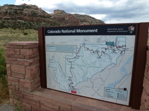
Colorado National Monument is located approximately 250 miles west of Denver, between the towns of Grand Junction and Fruita. The East entrance to the park is located approximately 5 miles from downtown Grand Junction on Monument Road.
Just past the East Entrance station is parking at the Devil’s Kitchen trailhead (on the left) or the Devil’s Kitchen picnic area (on the right, complete with bathrooms). Both are good places to park and begin your classic ride. Please note all cyclists must have a static white light on the front of their bikes and a flashing red light on the back. Cyclists are also required to ride single file (for more information on park requirements, click here).
From Devil’s Kitchen, the road switchbacks up about four miles, through a very dark tunnel before beginning to plateau at the Cold Shivers viewpoint. Traffic can be heavy along this stretch of road, but just about 1/2 mile past Cold Shivers is a turn off to Glade Park, a ranching community. After all the trucks exit, cyclists are home free and pretty much have the place to themselves.
From this point, it is another 5-6 miles of rolling uphill terrain to the high point of the Colorado National Monument. After the high point, the descent begins, with only one more significant uphill portion, at Black Ridge.
The Visitors Center (at mile 19) is worth a stop both to refill water bottles and check out the brand-new interpretive displays. Leaving the Visitors’ Center, the road descends rapidly, through two short (and not so dark) tunnels, to the West Entrance of the park.
Leaving the park, cyclists ride along Broadway… to South Broadway… to South Camp… to Monument Road… and back to their cars. Best to map this out ahead of time on your smartphone. It’s not hard, but too complicated for this post.
Back at your car, you’ve completed one circuit of the Tour of the Moon. That’s what the pro-women rode back in the ’80s. The pro men did two circuits, back-to-back.
Enjoy!
The Brave Ski Mom © 2011. All rights reserved. Republication, in part or entirety, requires a link back to this original post and Mountain Town Magazine.
Read More of our Treks and Travel posts here: Mountain Town Magazine’s Treks & Travels

